Your aerial imaging specialist
We deliver top-quality aerial imagery that exceeds customer expectations.
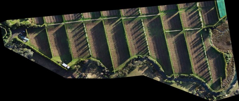
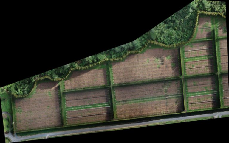
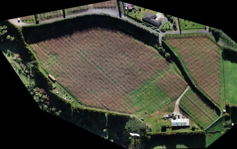
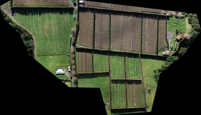
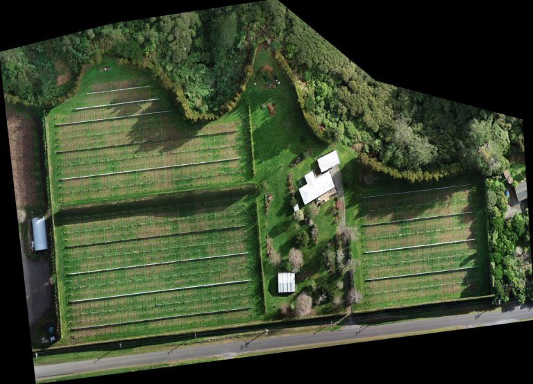
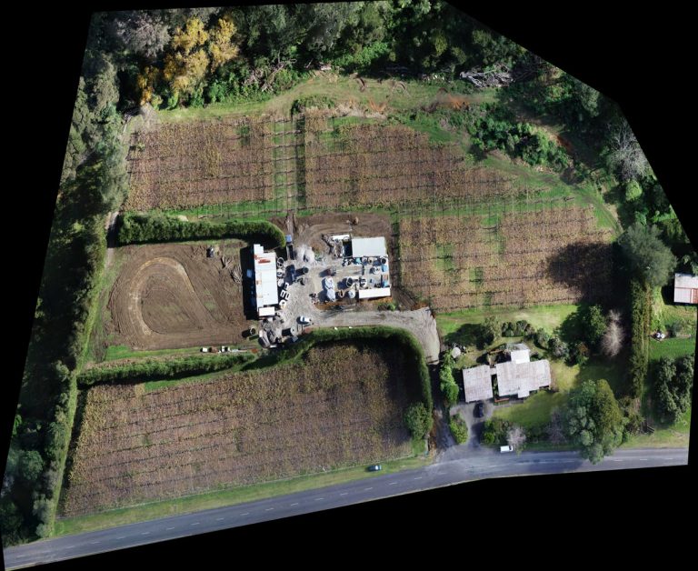
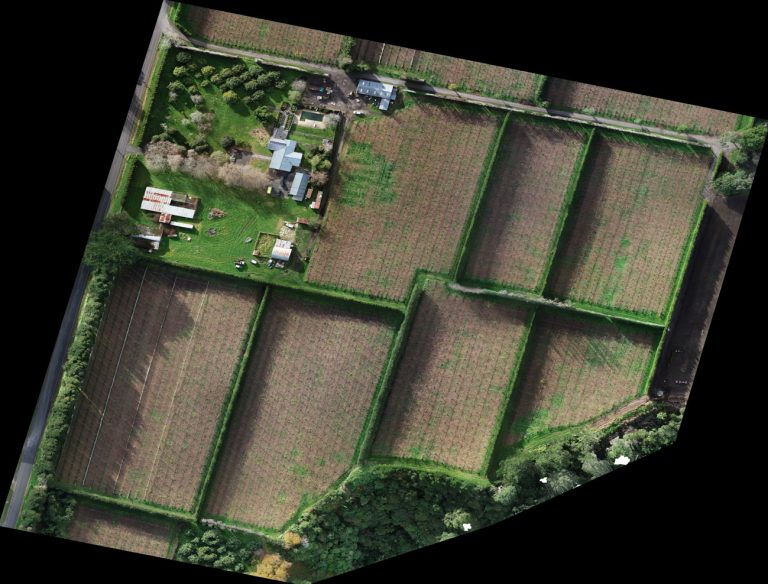
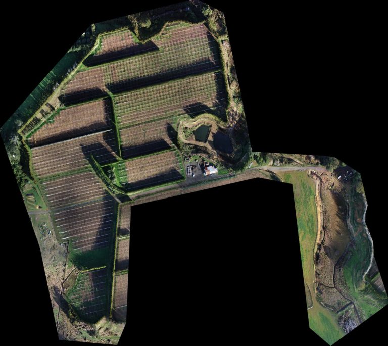
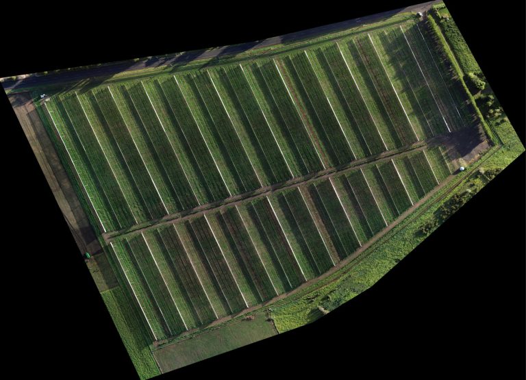
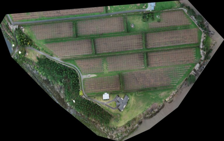
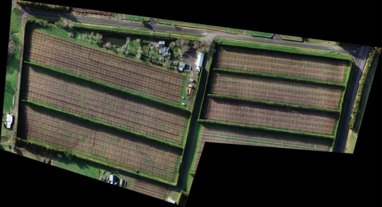
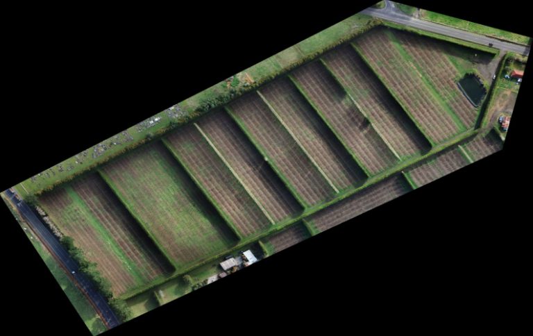
In this case study, we delve into how Digisky’s innovative aerial mapping solution and seamless GIS integration transformed the orchard management practices of a major local company. By adopting cutting-edge photogrammetry and the versatile QGIS software, we revolutionized their mapping process, enabling efficient planning, real-time updates, and enhanced safety measures.
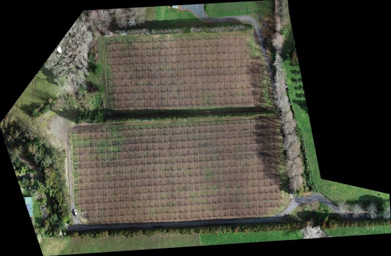
The client, a prominent orchard management company, sought an alternative mapping solution to replace time-consuming ground measurements. They also needed a full GIS integration to modernize their outdated software and efficiently link maps with their maturity database.
Digisky proposed an aerial mapping solution utilizing photogrammetry, providing high-resolution ortho-rectified imagery. To fulfill their GIS integration needs, we suggested QGIS, a powerful and cost-effective software that offered map drawing capabilities and seamless integration with the maturity database.

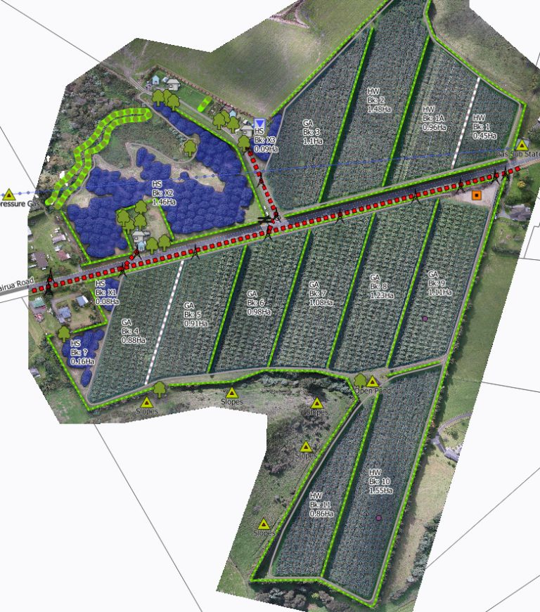
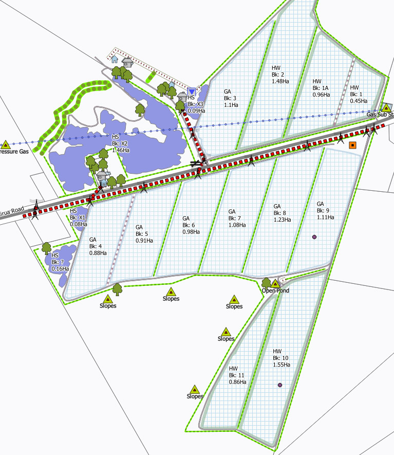
Our team worked meticulously on designing a new library for drawing icons and designs to suit their specific requirements. We executed a full transition from their old database to QGIS, ensuring a smooth integration process. To facilitate the transition, we prepared a comprehensive manual that elucidated the software functionalities for map drawings in their field of expertise.
The adoption of our aerial mapping and GIS integration yielded remarkable benefits for the orchard management company:
· Efficient Map Editing: With QGIS, maps can now be edited on request at a large volume, displaying real-time maturity status, surface area, and variety for each block.
· Enhanced Safety Measures: The maps now highlight potential hazards, providing valuable tools for health and safety concerns.
· Versatility and Scale: Beyond kiwifruit, we extended our aerial surveys to other crops, offering efficient planning for hundreds of hectares of orchards, and negotiated pricing based on per-hectare calculations.
The successful collaboration between Digisky and the orchard management company exemplifies the profound impact of modern aerial mapping and GIS integration. By leveraging the power of photogrammetry and QGIS, we empowered the client with efficient planning, real-time updates, and improved safety measures. Our innovative solutions continue to transform their orchard management practices, offering an array of benefits for sustainable growth and productivity.
We deliver top-quality aerial imagery that exceeds customer expectations.